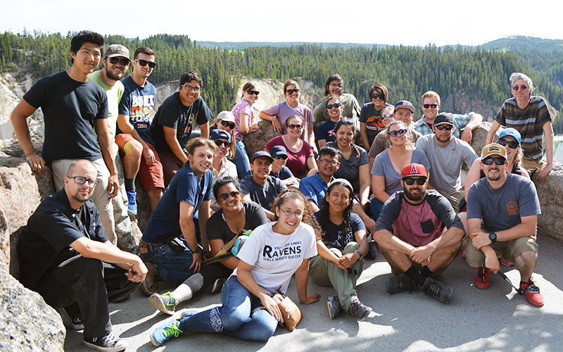
This summer, 25 geology students learned firsthand about their discipline by conducting fieldwork in a remote, geologically-rich area of Dillon, Montana, where every kind of rock — ranging in age from 2.5 billion to hundreds of years — exist.
The trip to the Dillon area was part of a capstone course that offers hands-on geology similar to how professional geologists would tackle geological mapping and observations in the field, said Vali Memeti, assistant professor of geological sciences, who co-taught the course with Nicole Bonuso, associate professor of geological sciences.
For Jazmine Titular and her classmates, it was a trip of a lifetime.
“I will honestly say it was one of the best experiences of my life. I had the chance to experience what a field geologist does on a daily basis for their job, and it solidified my confidence in my mapping skills,” explained Titular, who graduates in August. “Standing on top of large mountains and looking in awe at the geology that surrounded me were the moments that confirmed that I chose the right major and career path for me.”
The Geological Sciences Department has been offering field camp, mandatory for the bachelor’s degree in geology, for about 30 years — initially in the Mojave Desert and in Montana since 1996. Funding from the department and Associated Students Inc. helps to offset students’ course expenses.
Participants stayed in the dorms at the University of Montana Western, and in thunderstorms and heat — daytime temperatures ranged from 50 to 95 degrees — conducted geologic field mapping in areas up to an hour away from Dillon.
“Being in Montana was a whole new world — geologically!” added Amanda Shellhorn, who also graduates next month. “I got to see my first thrust fault. And we got to map an area with extensively folded metamorphic rocks that were billions of years old. Behind all of the projects were life lessons that we can take forward with us into the workforce or further into academics.”
The future geologists mapped ancient marine sediments, using a topographic map and GPS to locate geological features. They looked at outcrops of rocks using a hammer and a hand lens to identify rock units, sometimes based on soil color, and color code them on the map, Memeti explained. The students also took measurements with a geologic compass to determine the structural orientation of the rock layers.
The course also taught students the importance of honing essential skills, such as teamwork, time management, the importance of preparation and meeting deadlines, said Titular, who plans to study geophysics in graduate school.
“At field camp, students apply all they have learned in previous classes to field assignments. It’s hands-on, it’s intellectually and physically challenging, and gives students a first taste for what they will be doing when they get their first job as a geologist,” Memeti said. “This experience is what our alums tend to remember the best — which says it all.”