Many people find themselves exploring the Earth in Apple or Google Maps and playing games like GeoGuessr. Maps are powerful tools for understanding patterns, solving problems and making smarter decisions. That’s the foundation of geographic information systems, a field that blends technology, data, art and geography to create visual insights used in supply chain management, urban planning, utilities, public health, banking, intelligence, scientific studies, military and insurance. To see how this plays out in practice, learn from a specialist in the GIS field.
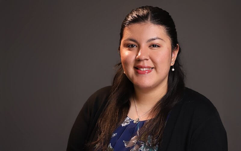
CSUF alum Pearl Escobar completed the Cal State Fullerton University Extension Geographic Information Systems certificate program. Escobar, now a project resource specialist at the San Gabriel Basin Water Quality Authority, works as the main geographic information systems user.
A two-time Titan alum, Escobar earned a bachelor’s degree in biological science and a master’s degree in environmental studies. Escobar said that several professors in the CSUF geography department recommended the University Extension GIS certificate program and encouraged her to fast-track her career in environmental studies.
Through the program, Escobar developed strong network connections as she attended professional events through water and sanitation districts and met senior professionals in the field.
“It gave me a deeper and broader understanding of industries in GIS and STEM,” said Escobar.
She said that these experiences, coupled with the education she received in the University Extension courses, helped make her a more “marketable candidate.”
Escobar added that the program involves a lot of creativity, and that “you have to start creating your own maps, your own cartography,” using data from GIS instructors and external data to bring map ideas to life. She now uses this experience to help remediate groundwater contamination plumes in the San Gabriel Basin.
For students exploring career options, Escobar said that GIS is becoming a growing trend in numerous industries, and it’s the perfect skill to pick up before entering the job market. More and more companies need people to review maps, see where their consumers and clients are located, and where they can expand to or what areas need work done, she explained.
GIS is also a great field for people who want to help the environment and the community. Escobar said that she uses her GIS certificate to help with groundwater pollution, but there are more uses. GIS also helps determine street light placements, bus routes, and the reach of electricity, water, gas, and phone lines. People in the field believe that GIS technology is the secret director behind most people’s daily lives, said Escobar.
For students who are inspired to help people every day and learn more about their local area while they do it, the Geographic Information Systems certificate is a perfect fit. Learn more about the certificate program on the University Extension website, and view Escobar’s full interview on the University Extension YouTube channel.